Precision from Above
Smarter Solutions with AdvancedUAV
Unlock powerful insights with cutting-edge drone technology. From high-accuracy land surveying to seed and fertilizer spreading, our drone solutions deliver reliable data and outcomes faster, safer, and more cost-effectively than traditional methods.
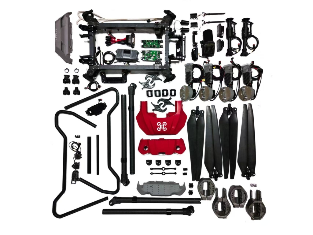
Drone Repair
AdvancedUAV provides professional agricultural drone repair services to keep your operations running smoothly when it matters most. Our experienced technicians understand the demands of field work and specialize in diagnosing and repairing sprayer drones quickly and reliably.
With a focus on quality parts, precise workmanship, and fast turnaround, AdvancedUAV helps minimize downtime and ensures your agricultural drones are ready to perform at their best when the season is on the line.
Drone-Based Pasture Seeding & Granular Fertilizer Application
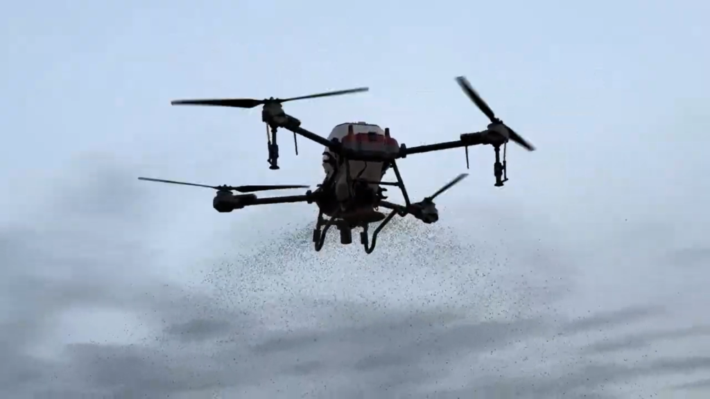
Boost pasture productivity with our drone-powered seeding and granular fertilizer spreading services. Using precision GPS technology, our agricultural drones deliver uniform coverage exactly where it’s needed—even on rough, sloped, or hard-to-reach land.
No soil compaction, no crop damage, and no delays due to wet fields. The result is faster application, reduced input waste, and healthier pastures—all with minimal disruption to your operation.
Land Surveying & RTK Field Boundary Identification
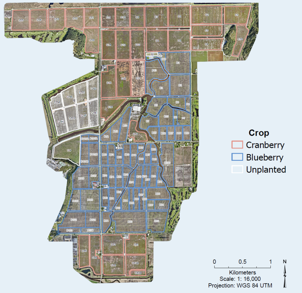
Our drone-based land surveying and RTK field boundary identification services deliver centimetre-level accuracy for confident planning and decision-making.
Using RTK-enabled drones, we quickly map property lines, field boundaries, and terrain features with exceptional precision—without the time, cost, or disruption of traditional ground surveys. Ideal for farm planning, acreage measurement, and operational management, our solution provides fast turnaround and reliable data you can trust.
Multispectral Drone NDVI Crop Monitoring
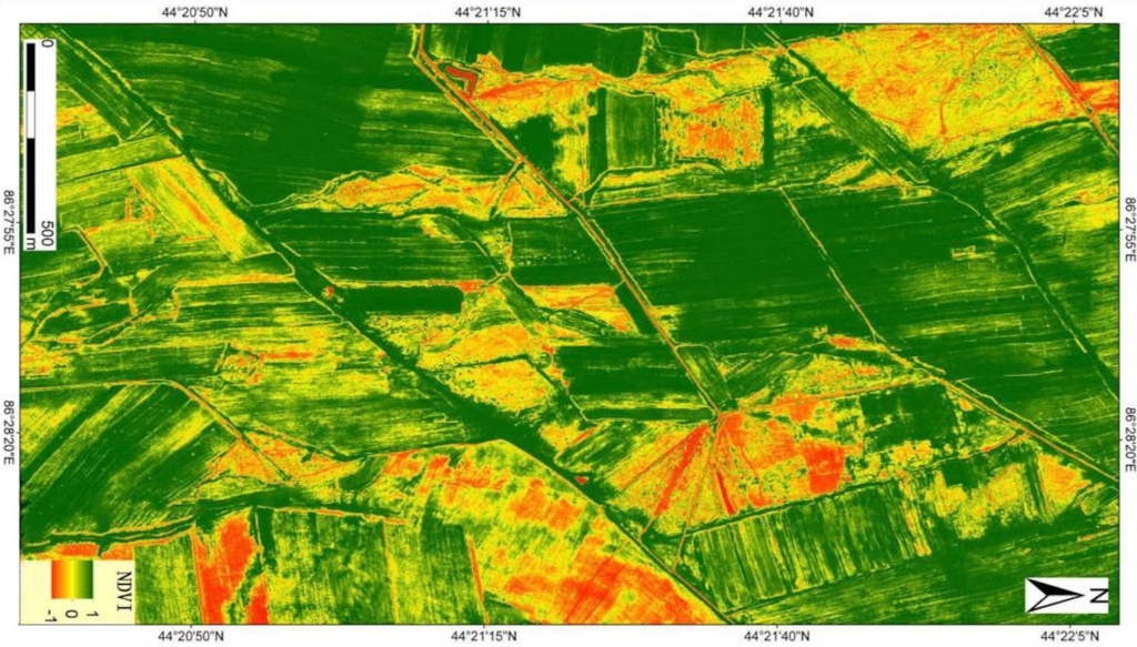
Gain deeper insight into crop health with our multispectral drone NDVI monitoring service. Equipped with advanced multispectral cameras, our drones capture high-resolution data that reveals plant vigor, growth variability, and early signs of stress—often before issues are visible on the ground.
NDVI maps highlight problem areas across the field, enabling timely, data-driven decisions for targeted fertilization, spraying, and crop management. The result is healthier crops, optimized inputs, and improved yield potential.
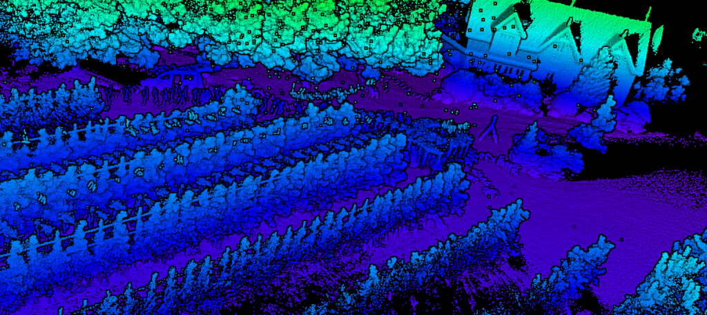
LiDAR + UAV Mapping for Terrain Elevation & Water Flow Analysis
Our LiDAR-enabled UAV mapping service delivers highly accurate terrain elevation models and detailed insights into water flow patterns across your land.
By penetrating vegetation and capturing precise surface data, LiDAR reveals subtle elevation changes that traditional mapping methods often miss. This allows producers and land managers to identify drainage issues, erosion risks, and trends in natural water movement with confidence—supporting smarter land planning, improved water management, and more resilient agricultural operations.
LiDAR could also help obtain precise data in orchards for fruit tree counting and fruit yield estimation.
Get in touch with us today
Discover how our drone solutions can make your operations faster, safer, and more efficient.
