
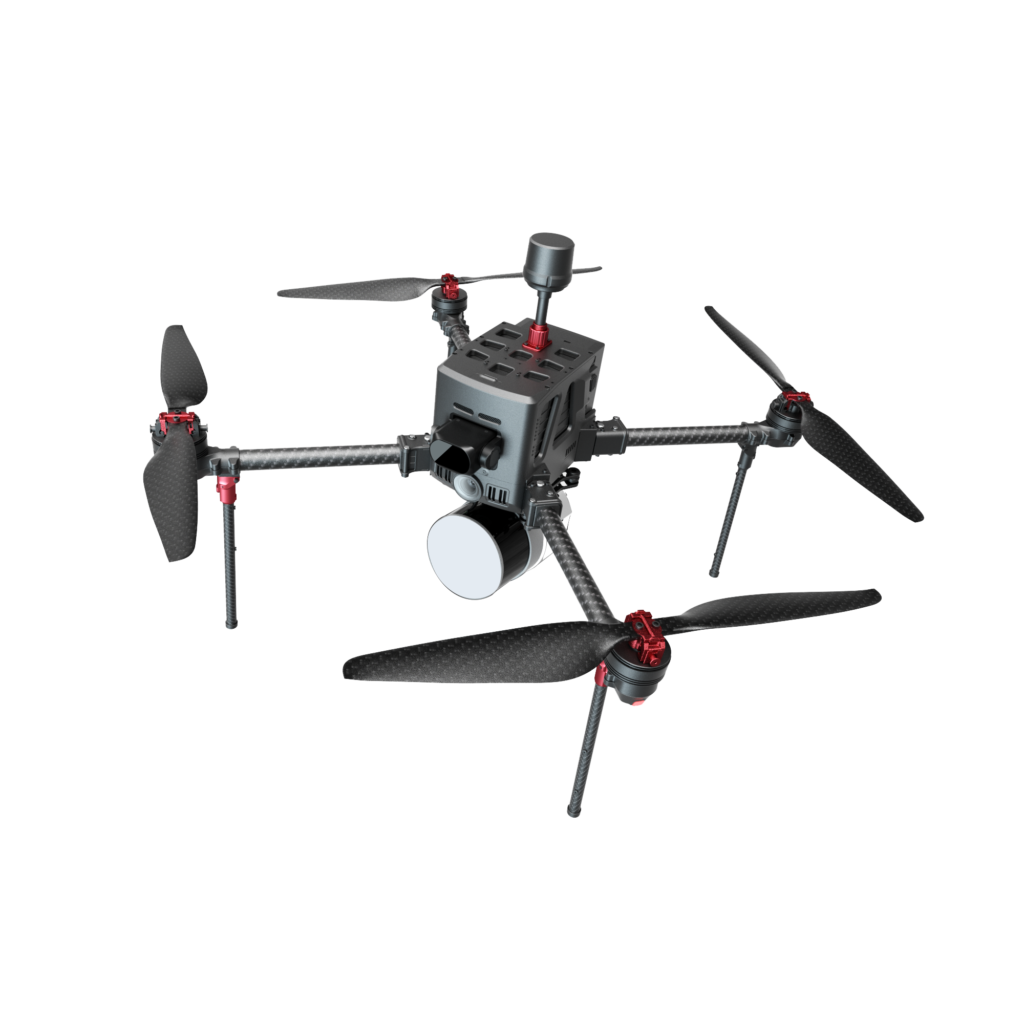
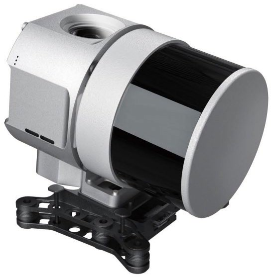


D5000 LiDAR Bundle Compared with Competitor’s Product
| Item | UAVisus D5000 + LiDAR550 | DJI M400 + L3 |
|---|---|---|
| Endurance | Rated: 90 minutes Actual: 60 minutes |
Rated: 59 minutes Actual: 15 minutes |
| Control Range | Rated: 30 km Mountain test: 15 km |
Rated: 20 km Mountain test: 8 km |
| Data Acquisition Workflow | No data completion procedures required at takeoff or landing. After power-on self-check, the system is ready for data collection. Upon completion, the aircraft can return directly. In the event of an unexpected return-to-home, previously collected data remains fully usable. | Data completion procedures are required both at the start and end of the mission. At takeoff, circular scanning at the takeoff point must be performed no fewer than 6 times before data collection can begin. At mission completion, additional circular scanning at the center of the survey area is required to complete data processing. In the event of an unexpected return-to-home, previously collected data may be affected or unusable. |
| Aircraft Weight | Aircraft only: 2.86 kg With LiDAR550: 4.1 kg |
Aircraft only: 9.74 kg With L3: 11.8 kg |
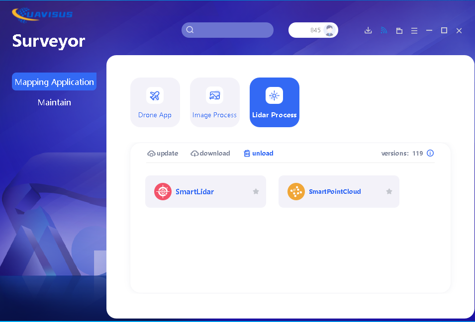
| Software Package | Surveyor software is included with the aircraft purchase and is free for lifetime use and upgrades. No third-party trajectory processing software is required. Surveyor integrates flight control, point cloud processing, and classification. | DJI Terra software is sold separately. One-time license: USD $7,890 Upgrade subscription: USD $1,200/year |