Survey Drone Training

Capture the Ground with Confidence
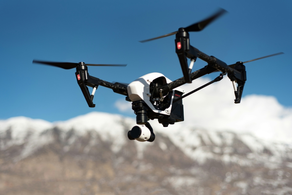


Comprehensive UAV Mapping
&
LiDAR Applications

This course is designed for drone operators, surveyors, and geospatial professionals who seek to master UAV-based data collection methods for mapping and surveying. It covers both the fundamentals of drone-based photogrammetry and advanced LiDAR techniques, giving participants the tools to capture accurate topographic data, generate high-resolution models, and deliver results ready for engineering, agriculture, mining, or construction applications.

Whether you’re using RGB cameras for orthomosaic maps or LiDAR scanners for 3D terrain models, this course builds the skills you need to operate professionally and safely.

Course Details

Duration

3–5 days (intensive in-person format with optional virtual follow-up)

Format

Classroom + field flight + lab post-processing

Location

Calgary-based training site or client-specific site upon request

Tuition

Based on group size and module selection – contact us for a custom quote

Ideal Participants

Professional drone pilots entering the surveying/mapping field

Engineering firms and survey companies building UAV capabilities

Municipalities and land-use planners

Research teams in environmental monitoring, forestry, or infrastructure

Course Modules

Survey Workflow & Mission Planning

• Fundamentals of aerial surveying with drones
• Flight planning using ground control points (GCPs) and
RTK/PPK workflows
• Overlap, altitude, and camera angle optimization
• Risk assessments and compliance in Canadian airspace

Photogrammetry & Mapping

• Capturing nadir and oblique imagery for structure-from-
motion (SfM) modeling
• Generating orthomosaics, DEMs/DSMs, and 3D models
using Pix4D, DJI Terra, or Agisoft Metashape
• Accuracy evaluation, error correction, and quality reporting
• Exporting GIS-compatible outputs (GeoTIFF, SHP, KMZ)

LiDAR Surveying Techniques

• LiDAR sensor types, scanning principles, and parameter
tuning
• Matching point density with altitude and flight speed
• Raw point cloud collection, alignment, and noise filtering
• Creating terrain models and extracting features using
LAStools, CloudCompare, or TerraSolid

Post-Processing & GIS Integration

• Georeferencing and projection transformation
• Data layering and fusion (e.g., combining LiDAR and
multispectral imagery)
• Introduction to QGIS workflows for map creation and
feature classification
• Preparing professional deliverables for clients or
regulatory use

Why This Course

Discover the reasons that set us apart.

01

Practical

Hands-on training with industry-grade equipment (e.g., Feima D2000 + LiDAR, DJI M300 + Zenmuse L1)

02

Expertise

Learn from professionals with multi-sector experience: mining, agriculture, land development, and disaster response

03

Balance

Blends theory, real-world case studies, and field operation

What You’ll Achieve

  • Confidently plan and execute UAV-based topographic surveys
  • Understand the full photogrammetry and LiDAR workflow
  • Produce clean, georeferenced deliverables for professional use
  • Receive a Certificate of Completion for UAV Surveying and Mapping
  • Be eligible for inclusion in commercial or government UAV service rosters