Need precise data on your fields, not just product applied to them? AdvancedUAV provides drone-based agricultural mapping services across Alberta — NDVI crop health monitoring and RTK field boundary surveying — giving producers the data they need for confident, timely decisions.
We map agricultural land across Alberta and Canada, from Calgary and Edmonton to Red Deer and the Grande Prairie/Peace Country region.
NDVI Crop Monitoring
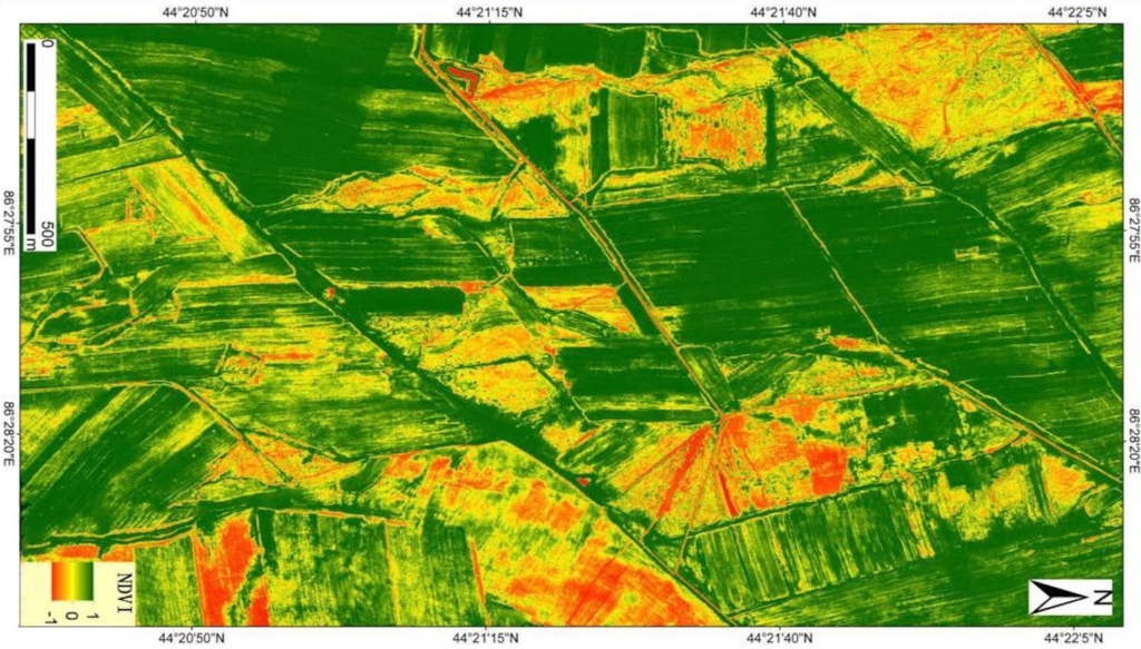
Gain deeper insight into crop health with our multispectral drone NDVI monitoring service. Equipped with advanced multispectral cameras, our drones capture high-resolution data that reveals plant vigor, growth variability, and early signs of stress — often before issues are visible on the ground. NDVI maps highlight problem areas across the field, enabling timely, data-driven decisions for targeted fertilization, spraying, and crop management. The result is healthier crops, optimized inputs, and improved yield potential.
RTK Field Boundary Surveying
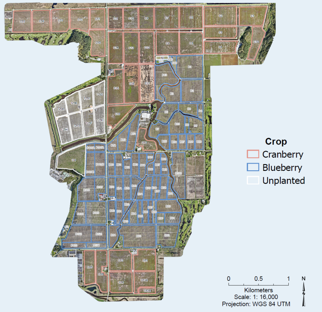
Our drone-based land surveying and RTK field boundary identification services deliver centimetre-level accuracy for confident planning and decision-making. Using RTK-enabled drones, we quickly map property lines, field boundaries, and terrain features with exceptional precision — without the time, cost, or disruption of traditional ground surveys. Ideal for farm planning, acreage measurement, and operational management, our solution provides fast turnaround and reliable data you can trust.
Deliverables
- NDVI vigor and crop health maps
- Field boundary and acreage measurements
- GPS-accurate property line mapping
- Exportable, GIS-ready data files
Request a Mapping Consultation
Get precise field data to guide your next decision. Contact AdvancedUAV to discuss NDVI crop monitoring or RTK field boundary surveying for your operation.