
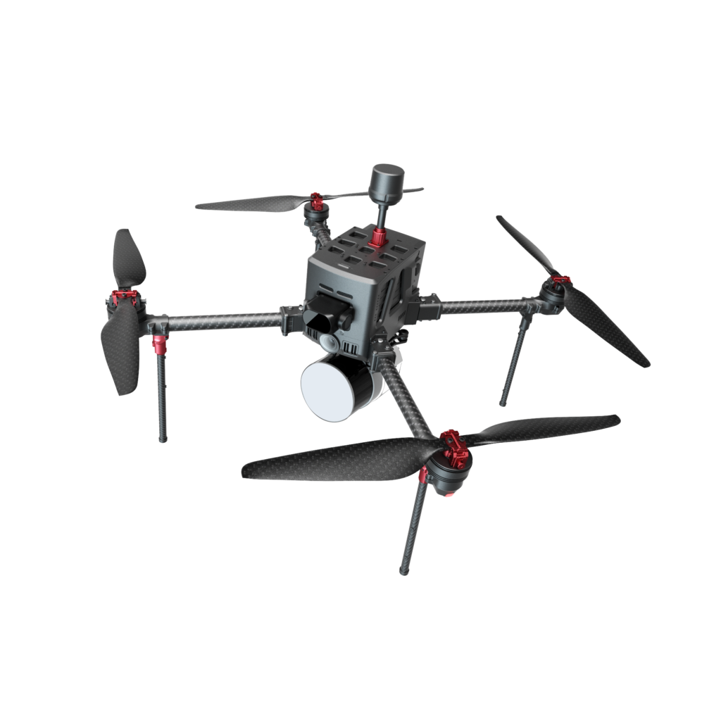
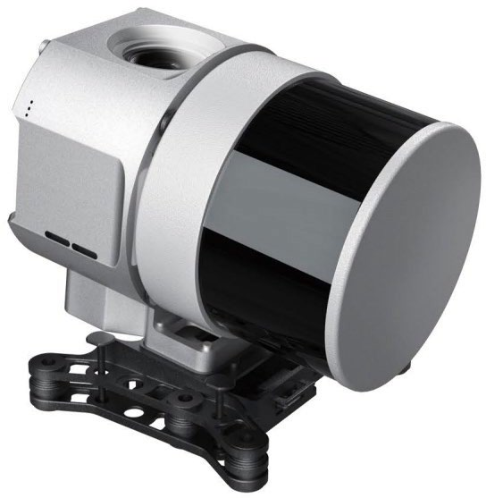
Need LiDAR data captured for your project? AdvancedUAV provides professional drone-based LiDAR mapping and data processing services across Alberta — powered by our LiDAR Drone D5000 and RTK-enabled GNSS surveying for centimetre-level accuracy.
We fly LiDAR mapping projects across Alberta and Canada, serving clients in Calgary, Edmonton, Red Deer, and the Grande Prairie/Peace Country region.
Applications
- Corridor mapping (roads, pipelines, transmission lines)
- Construction & infrastructure surveying
- Mining & aggregate volumetrics
- Forestry mapping
- Environmental monitoring, drainage & water flow analysis
- Agricultural terrain mapping & orchard fruit yield estimation
Equipment
- LiDAR Drone D5000
- RTK-enabled GNSS surveying systems
- Professional point cloud post-processing workflow
Deliverables
- Classified point clouds
- Digital Elevation Models (DEMs)
- Orthomosaics
- Contour & terrain analysis reports
Sample Deliverable
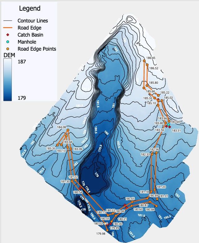
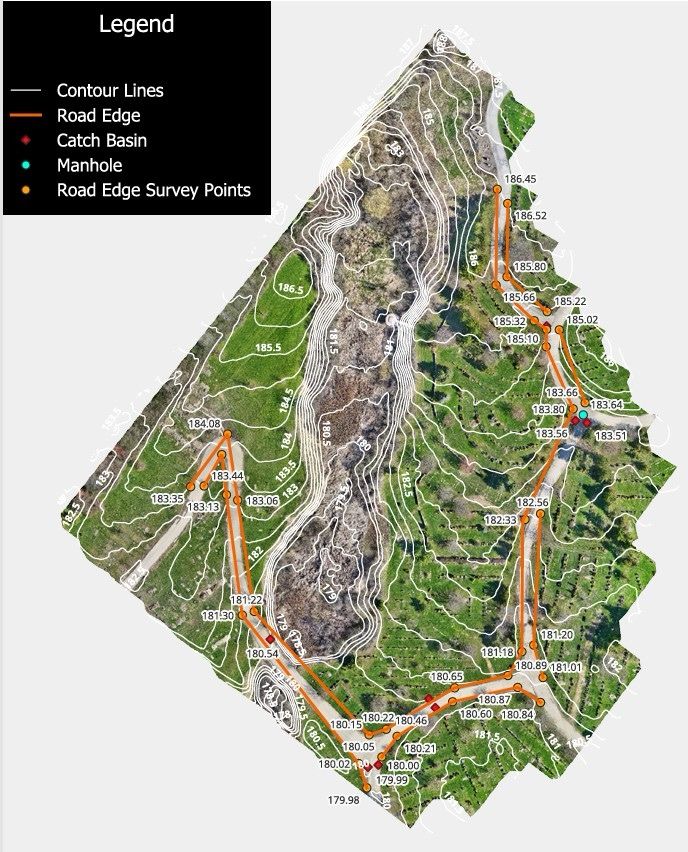
Here’s an example of what a finished LiDAR deliverable looks like: a bare-earth elevation model paired with the same dataset overlaid on aerial imagery, showing contour lines, road edges, catch basins, manhole locations, and precise survey point elevations.
Why AdvancedUAV
AdvancedUAV is a Canadian drone technology company based in Calgary, Alberta, combining precision LiDAR hardware with experienced RPAS operators and a fast turnaround on data processing and deliverables.
Request a LiDAR Consultation
Tell us about your project and we’ll help determine the right LiDAR data capture and processing plan for your site.