
Forestry Drone Applications
Forest Mapping and Monitoring
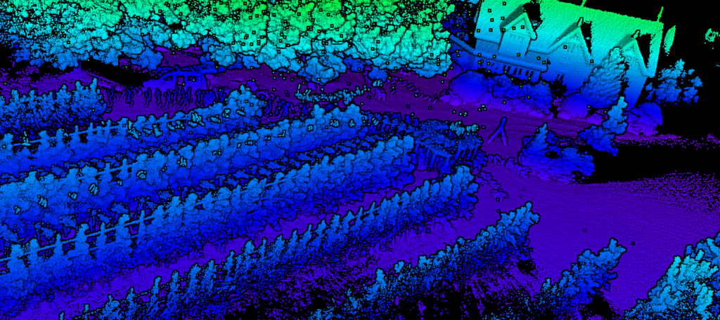
Drones equipped with high-resolution cameras or LiDAR sensors can capture detailed images or 3D models of forested areas. This data is useful for mapping terrain, assessing vegetation density, and monitoring changes over time.
Wildlife Monitoring
Drones can be used to monitor wildlife populations in forests without disturbing them. Thermal cameras can help identify and track animals, especially in dense vegetation or during nocturnal hours.
Forest Health Assessment
Drones equipped with multispectral or hyperspectral sensors can detect early signs of diseases, pest infestations, or other stress factors affecting the health of the forest.
Fire Detection and Management
Drones equipped with thermal cameras and real-time monitoring capabilities can aid in early detection of forest fires, enabling a rapid response to prevent or manage the spread of the fire.
Reforestation Planning
Drones can be used for precise seed dispersal in reforestation efforts, ensuring seeds are distributed evenly across the target area and enhancing the efficiency of reforestation initiatives.
Logging and Harvesting Planning
Drones equipped with LiDAR sensors can provide accurate volume estimations of timber stock, assisting in planning and optimizing logging and harvesting operations.