About v500
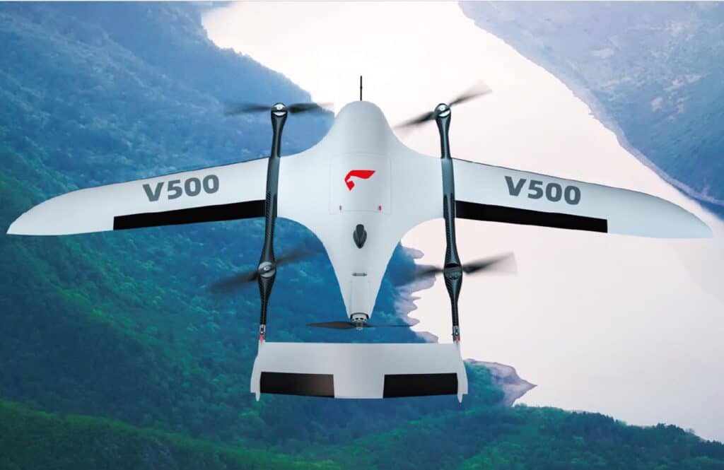
V500- high-efficiency data acquisition, image-free control to map, and flexible and portable
In a world where innovation knows no bounds, the field of aerial surveys, remote sensing, and inspections is reaching new heights – quite literally!
Feima Robotics, a leader in cutting-edge unmanned aerial technology, proudly introduces the V500, a pioneering pure electric vertical take-off and landing fixed-wing unmanned aerial system. This revolutionary platform is designed to set new standards in efficiency and precision, offering a dynamic range of features that promise to transform how we approach data acquisition.
High-Efficiency Data Acquisition
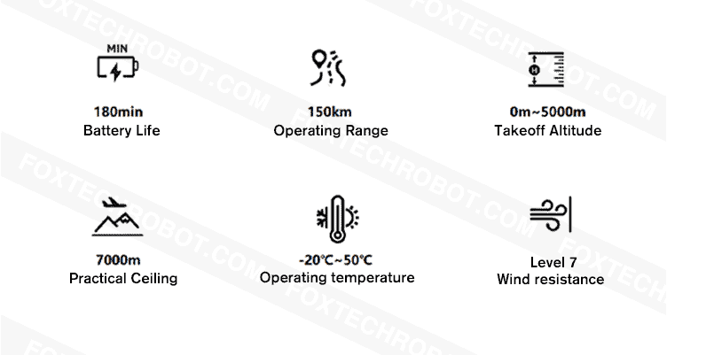
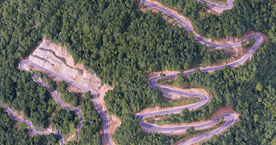
The V500 is not your average drone; it’s a marvel of engineering. At its core, it focuses on high-efficiency data acquisition, a game-changer for various industries. Whether it’s capturing intricate topographical data or performing inspections from above, the V500 guarantees precision and reliability.
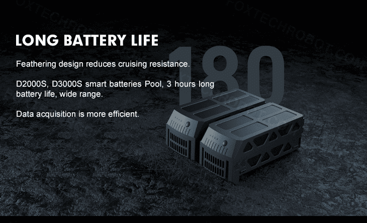
Image-Free Control for Mapping
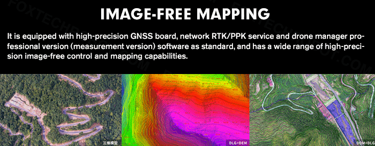
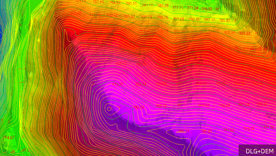
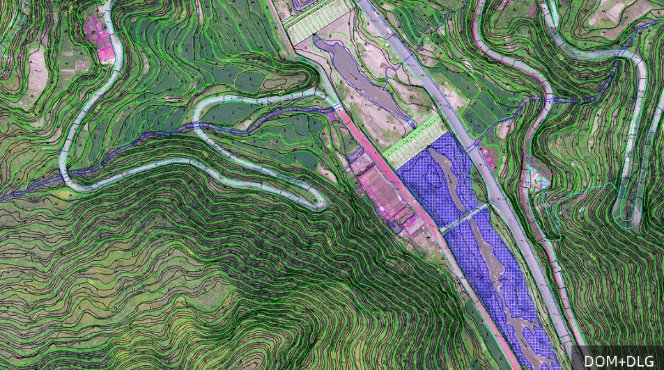
Mapping has never been this effortless. The V500 incorporates image-free control technology, simplifying the process and enhancing accuracy. Say goodbye to the complexities of image-based mapping; the V500 is your all-in-one solution for capturing high-quality mapping data.
Flexibility and Portability
When it comes to aerial systems, flexibility and portability are key. The V500 excels in both aspects. Its lightweight construction, featuring Kevlar + PMI composite materials, results in a take-off weight of just 7.2kg. The modular quick-release and folding design of the airframe platform streamlines assembly, making it a breeze for operators.
Unmatched Endurance
One of the standout features of the V500 is its endurance. With a remarkable battery life of up to 180 minutes, this UAV redefines the limits of how long a drone can stay in the air. This extended endurance not only facilitates comprehensive data acquisition but also minimizes downtime for recharging.
Inspiring creative work
Lorem ipsum dolor sit amet, consectetur adipisicing elit, sed do eiusmod tempor incididunt ut labore et dolore magna aliqua. Ut enim ad minim veniam, quis nostrud exercitation ullamco laboris nisi ut aliquip ex ea commodo consequat. Duis aute irure dolor in reprehenderit in voluptate velit esse cillum dolore eu fugiat nulla pariatur. Excepteur sint occaecat cupidatat non proident, sunt in culpa qui officia deserunt mollit anim id est laborum. Sed ut perspiciatis unde omnis iste natus error sit voluptatem accusantium doloremque laudantium.
Exceptional Altitude Capabilities
The V500 isn’t constrained by altitude limits. It can take off from altitudes ranging from 0m to 5000m and operate effectively at altitudes of up to 7000m. With an actual operational height capability of 3000m, it can handle even the most demanding scenarios without the need to change rotor propellers.
Terrain Following and High-Resolution Data
Precision terrain-following flight is a breeze for the V500. It excels in capturing high-resolution data across varying terrains and altitudes. It’s your go-to solution for those scenarios where detailed terrain data is crucial.
Two Versions to Suit Your Needs
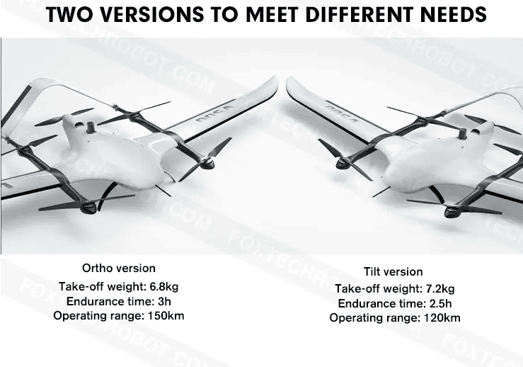
The V500 offers two versions, the orthographic and the tilted version, ensuring that it can be customized to meet the unique requirements of different users. Whether you’re focused on endurance or a specific operational range, the V500 has an option to match your needs.
We are proud to announce that AUAV is an authorized distributor for FEIMA drones, including the groundbreaking V500. This partnership ensures that customers can access the V500 and other FEIMA drone solutions with the assurance of quality, support, and expertise that AUAV is renowned for. With AUAV as your distributor, you can trust that you’re not only getting access to top-tier UAV technology but also a dedicated team ready to assist you in making the most of these advanced aerial solutions.
