
In the dynamic landscape of the geospatial industry, a paradigm shift is underway in the mining sector with the integration of Unmanned Aerial Vehicles (UAVs) and Light Detection and Ranging (LiDAR) technology. This synergistic convergence promises to not only surpass existing methodologies but also usher in a new era of operational excellence for mining enterprises.
Precision Mapping Through UAVs and LiDAR Technology
The utilization of UAVs transcends mere cost efficiency, offering an array of advantages such as high-resolution imagery, 2-D and 3-D mapping capabilities via LiDAR, digital elevation, and terrain modeling. This strategic integration significantly diminishes data acquisition and processing timelines, thereby optimizing mining operations while concurrently reducing overall expenditure.
Pioneering this technological integration, drones like the D20 Drone Platform from Feima, equipped with an integrated RTK/PPK system, demonstrate exceptional performance in challenging terrains and difficult-to-access areas.
Streamlined Monitoring and Inspection Protocols
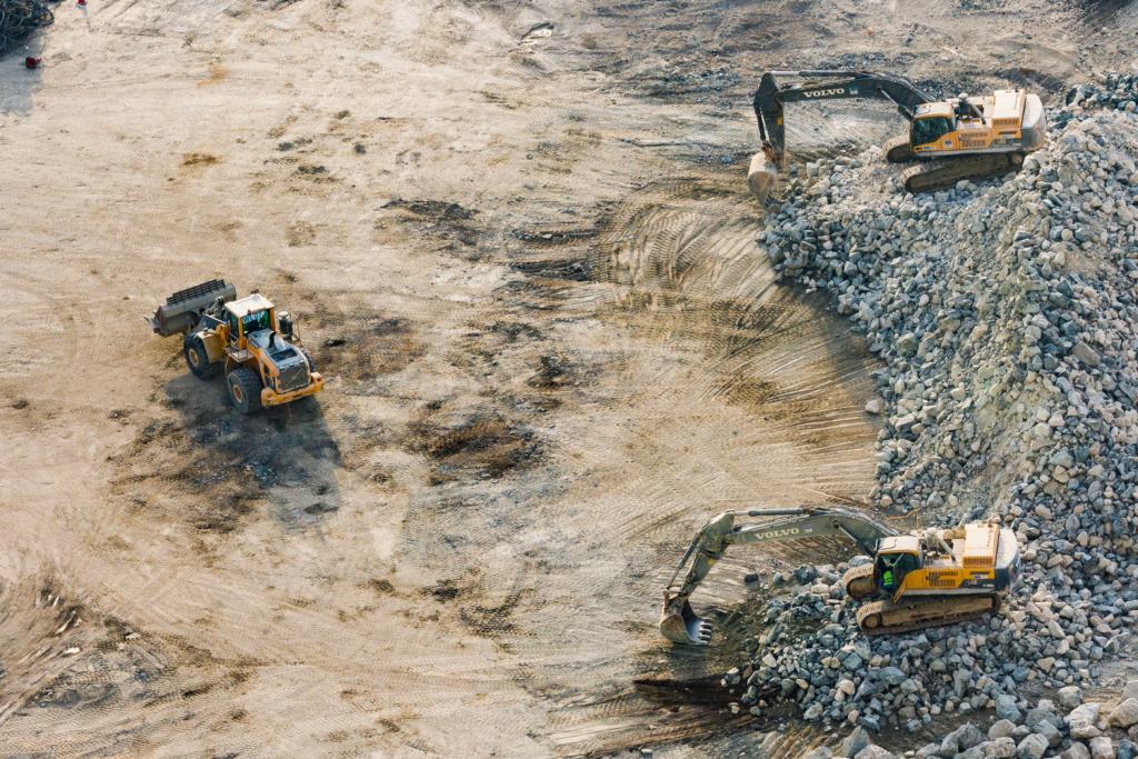
A pivotal role is played by UAVs in the monitoring of critical components, particularly tailing dams. These aerial platforms not only present a cost-effective alternative but also mitigate risks associated with manual inspections. Drones such as the Elios 3 by Flyability, incorporating LiDAR capabilities, facilitate the rapid identification of structural integrity concerns, allowing for timely and informed interventions.
Optimized Route Logistics and Strategic Planning
UAVs are redefining route logistics by offering sophisticated road optimization and exploration capabilities. Recent technological strides empower drones, such as the DJI Matrice 600, to generate high-resolution orthophotos and DSM maps, supporting mining exploration efforts. Specialized equipment, like drone-mounted magnetometers such as the MagDrone R3, streamlines surveys for enhanced route planning.

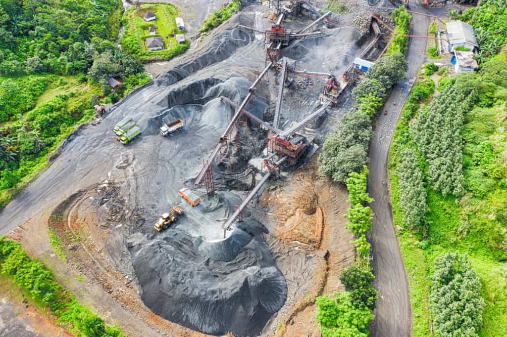
Precision Stockpile Management Strategies
Drones, coupled with advanced software solutions like Kespry, revolutionize stockpile management by providing meticulous calculations, aerial terrain models, and measurements without the traditional cost burdens. This allows for more frequent analyses, reducing write-offs and contributing significantly to economic savings.
The Ongoing Impact of Drones in Mining
As drone technology continues to demonstrate increased cost-effectiveness, its adoption in the mining industry is poised for substantial growth. Having already transformed various industries, including residential construction and solar energy, drones are set to revolutionize mining operations by driving down costs and elevating safety standards. The ongoing advancements in drone technology underscore their pivotal role in shaping the future of mining.

The Ongoing Impact of Drones in Mining
Explore the boundless possibilities offered by bespoke drone technology tailored to your unique operational requirements. Schedule a consultation with our seasoned team at AUAV, where our licensed professionals bring unparalleled expertise to address the distinctive challenges of your projects.